A Walk to Crawbuckie Preserve and Back – Crawbuckie Preserve

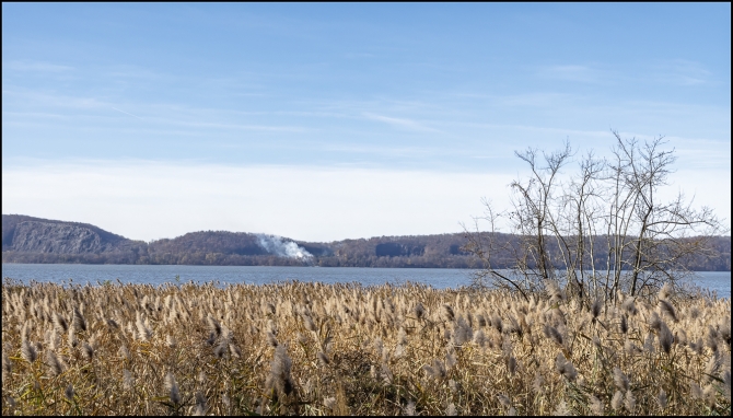
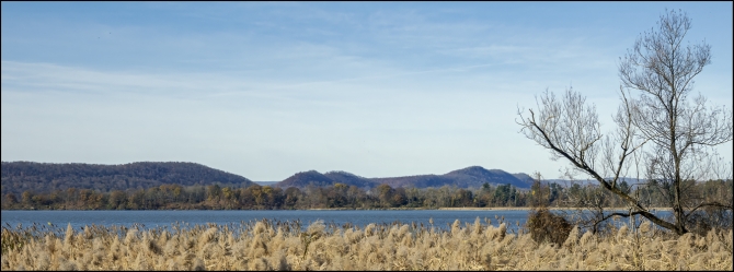
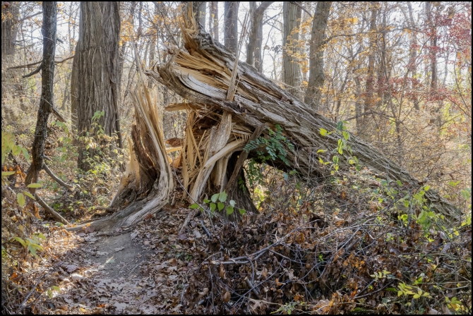
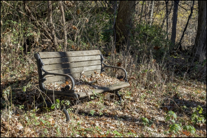
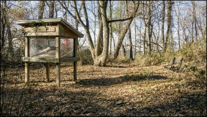
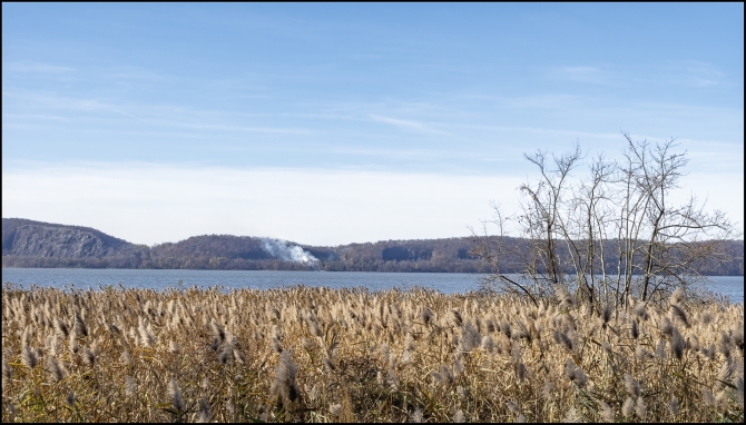
After a bit of a walk, I finally came to the entrance to the preserve. From there it was a fairly long downhill stretch which eventually brings you down to near the railroad tracks adjacent to the river. From what I’d read about the preserve I’d expected great views of the river. Indeed, there were some nice views, but as I was there to take photographs, I was rather disappointed. Almost all of views were obstructed by trees. In fact, I could see the river only because the trees were devoid of leaves. In Summer I probably wouldn’t have been able to see the river at all, except for a couple of views. In all honesty I can see better views from my local park (which is also on the river).


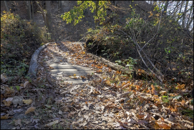
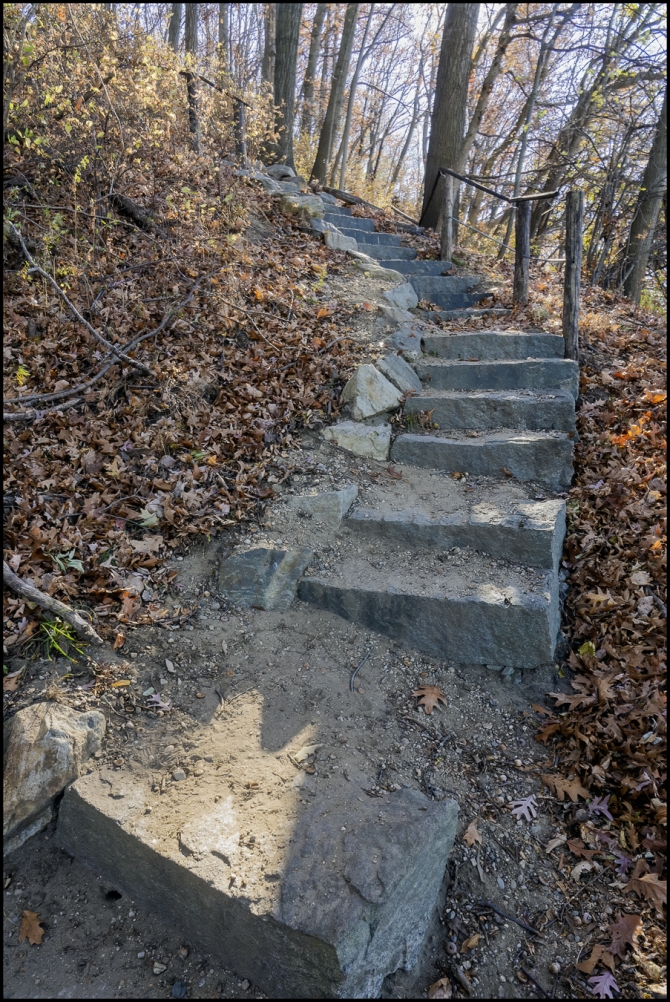
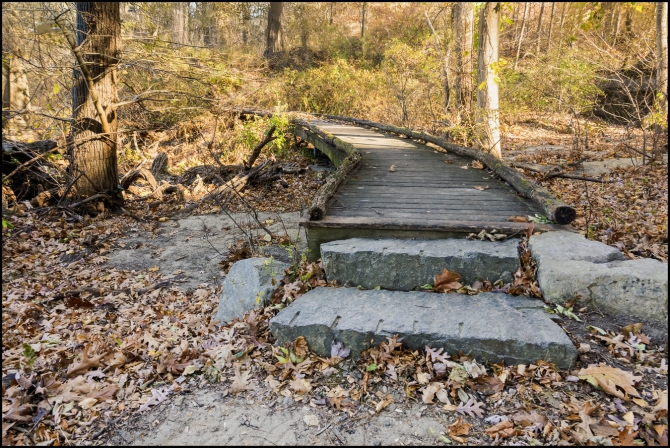
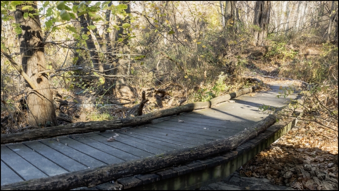
It’s a fairly small preserve and I don’t think I saw all of it. There doesn’t seem to be a lot to see. The only things that caught my attention were the boardwalks, and a rather intimidating flight of stone steps, some of which were quite tall. I’m 72 years old and was afraid I might fall a couple of times. The picture of the steps shows only about one third of them.


Still, although I was a bit disappointed photographically it was a pleasant short walk in the woods. Would I go back? If I lived close by, probably. But there are better woodland walks closer to where I live, So I probably wouldn’t.

Taken with a Sony RX10 IV.

A Walk to Crawbuckie Preserve and Back – Overview

According to InOssining.com

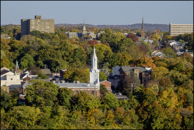
Ossining’s Crawbuckie Park / Nature Preserve is a woodland riverfront park and preserve accessible by car via Beach Rd. Parking is available at the entrance to the park’s trails, at the end of Beach Rd. The preserve is on the edge of Brayton Park, part of the North Village neighborhood.

Take a walk through the Edward M. Wheeler Crawbuckie Nature Preserve! For some beautiful early-morning light, start as much before 9:00 AM as you can muster the troops. Check out some pictures below.

There are 20+ acres of natural Hudson River Valley rain forest (it seriously looks like a rain forest in places) in this preserve. There are lovely trails that wind through the forest, where you will often see the river glimmering at you through the trees, and in some spots a more open Hudson River view. There are trees like cathedrals that are 3 and 4 feet in diameter. Some of these trees date back to when the area was home to Dr. Benjamin Brandreth’s 35-room mansion Glyndon.

A real highlight is the symphony of bird songs. Against the quiet of the woods their calls seem to be played through a loudspeaker. The preserve is populated by numerous bird species due to its huge diversity of trees. Ossining resident Robert Havell Jr. was the engraver for John J Audubon’s seminal work Birds of America (the “world’s most expensive book “). Audobon collected and studied in the Crawbuckie area.

But even though the purpose of my walk was to go to Crawbuckie I would pass much more along the way there and back: abandoned structures, strange festive decorations, an old home once owned by a very famous author. I would stop at a nearby diner for brunch and then continue along an historical trail into town. There I would take a short diversion to one of Ossining’s most famous monuments. By then I was tired and my feet hurt so another stop was in order, this time in a wonderful bookstore where I could sit an rest for a while. From there it was a relatively short, but unfortunately almost all uphill walk home.

Taken with a Sony RX10 IV

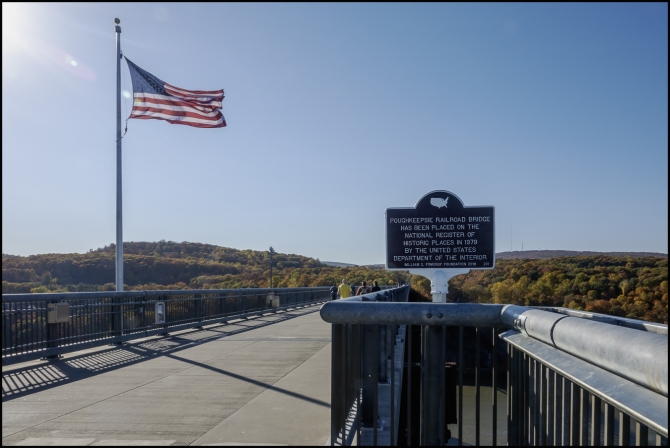
Walkway over the Hudson

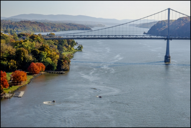
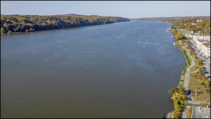
A while back I went for a walk over the Walkway over the Hudson. It’s a steel bridge spanning the Hudson River between Poughkeepsie, New York, on the east bank and Highland, New York, on the west bank. Built as a double track railroad bridge, it was completed on January 1, 1889. A fire caused it to be taken out of service in 1974. It was reopened on October 3, 2009, as a pedestrian walkway, part of the Walkway Over the Hudson State Historic Park. It claims to the world’s longest elevated pedestrian bridge.

Even though it opened it 2009, this was my first visit. I was impressed by the stunning views.


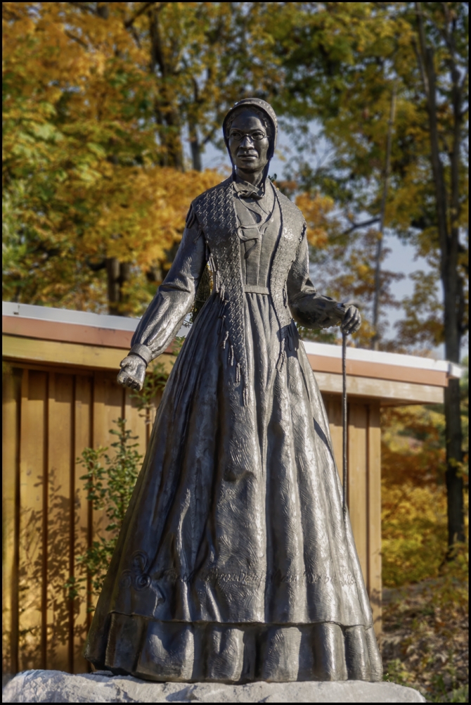
Sojourner Truth Statue


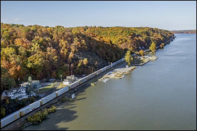
Downtown Poughkeepsie


Taken with a Sony RX10 IV

A visit to upstate New York and Vermont – Fort Ticonderoga – Mount Defiance

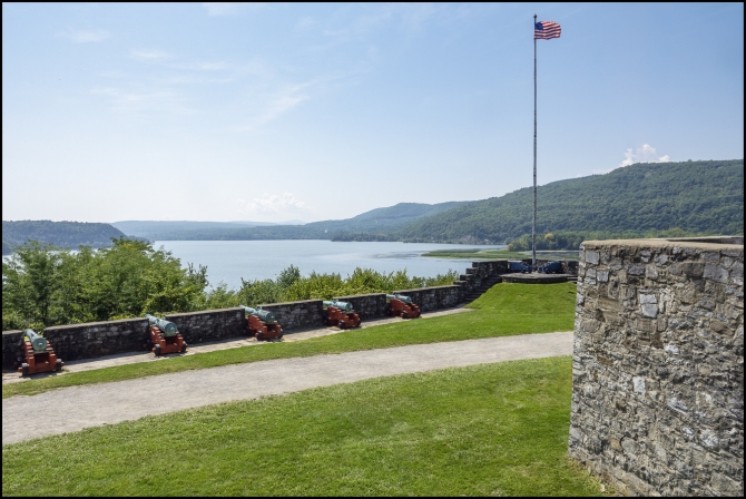
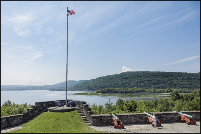
In an earlier post I urged readers to look for a flag on a nearby hill. That hill is actually Mount Defiance. This view of Fort Ticonderoga was taken from there.

“Mount Defiance is an 840 ft (260 m) high hill on the New York side of Lake Champlain, in the northeastern United States. It is notable in that the hill militarily dominates both Fort Ticonderoga and Mount Independence, but it was deemed inaccessible so never fortified. Mount Defiance was previously known as Sugar Loaf.” (Wikipedia).

In the 1777 Siege of Fort Ticonderoga, the British army succeeded in positioning artillery on Mount Defiance, causing the Continental Army to withdraw from both forts without a fight.


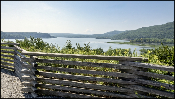
And with this final wonderful view (below) of Lake Champlain from Mount Defiance we ended our visit to Fort Ticonderoga and headed off to our next destination, also in Ticonderoga, NY.

Taken with a Sony RX10 IV