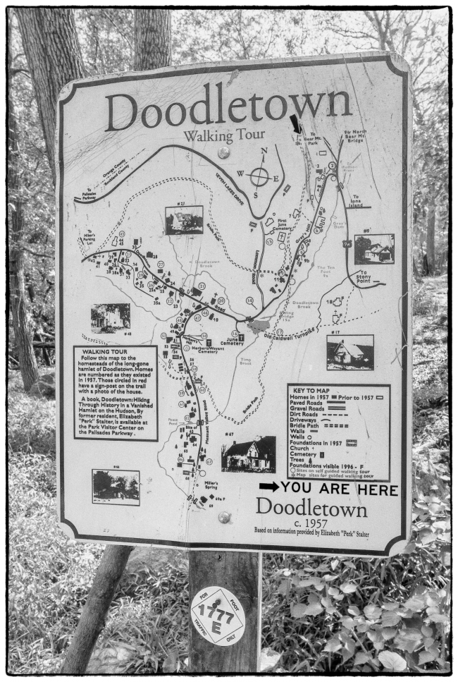
While digging in the garden one day I managed to do something to my right calf muscle that made it painful for me to walk. I was still able to take out the dog on the flat roads around the lake, but I didn’t want to risk taking him into nearby Fahnestock State Park where the trails are more rugged: sometimes hilly, always rocky and root bound. My leg continued to hurt and I was beginning to wonder if my days walking in the woods were over. Then one day the pain started to ease and I thought I’d try again.
My wife was going to the spa at the Bear Mountain Inn (see also below):
So I decided to go along and try some of the trails there. Specifically I chose to follow the 1777 trail, which a nearby sign describes as follows:
You are walking part of the 1777 historic trail that retraces as nearly as possible the routes taken by the British army during the Revolutionary War.
The 1777 trail represents the route taken by British General Sir Henry Clinton’s forces on October 6, 1777. After landing 2,100 men at Stony Point, he marched north to capture Forts Clinton and Montgomery. At Doodletown, the trail splits. The east branch of the trail follows the march of forces under Sir Henry Clinton and Major General John Vaughn that captured Fort Clinton. The west branch follows the route of Lieutenant Colonel Mungo Campbell’s forces, which captured Fort Montgomery.
All told the walk took about 2.5 hours, so I guess I’m back in business.
Taken with a Sony RX-100 M3.

