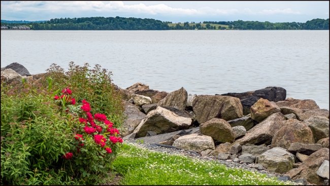
Above: Hudson River with Croton Point Park in the background.
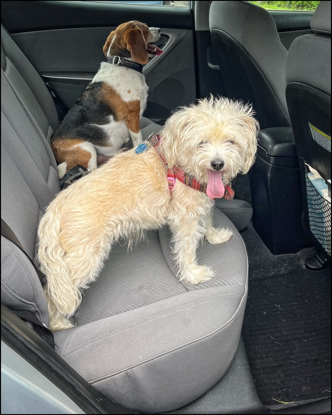
I had planned on going into NY City, but when I noticed that the weather forecast indicated rain I decided to put that off for another day. That left me at a loose end. So I was pleased when I got a message from my friend Antonio: would I like to get together? I was, of course, happy to do so. I was even happier when the rain held off long enough for us to take our dogs Harley (mine) and Henry (Antonio’s) for a walk along the Hudson River at Croton Landing. It wasn’t a great day for taking pictures: poor light (it was around noon) cloudy, hazy and quite gloomy, but I took a few anyway. Harley’s usually indifferent to other animals (other dogs, cats, squirrels, chipmunks etc.). He’s not aggressive (except in the case of deer. He loves to bark at dear), but neither is he friendly – except in this case. He really seems to like Henry (see final picture).
“Croton Landing Park (where we walked and where these pictures were taken) was the site of a former asphalt batching plant and at various times in its past, the land had been the site of brick works and a location for depositing fill from construction done in NYC. This property is a 30-acre site bounded on the west by the Hudson River and on the east by the Metro North/Amtrak railroad.
The property was formerly owned by the Ottaviano family and was referred to as the Seprieo property. The letters in “Seprieo” represented the initials of the Ottaviano children.
Before Route 9 was created, several streets in the Village led to the Hudson River, although the railroad tracks had to be crossed to get there. With the advent of Route 9, the property was almost impossible to reach or to utilize except by some determined fishermen. Over time, it became overgrown and strewn with trash both dumped there and washed up from the river.
…
In 2002, the former Seprieo property is officially named Croton Landing based on historic maps showing that name for the area dating back to 1865.
In early 2003 the Open Space Institute transferred its title of the Beaverkill portion (the northern section) of Croton Landing to the Village. The nothern section is now unofficially named North Cove.
In 2006, Westchester County and Croton agreed to combine their efforts and funds for Croton Landing improvements, including the County’s proposed Riverwalk trail addition in the northern portion of the park. The 2300-foot trail addition is part of the County’s 51.5-mile River Walk trail system along the Hudson River from NYC to Putnam County.
In 2008, thirteen years after the initial purchase of the property, Croton Landing Park officially opened.” (Scenes from the Trail – where you can find more information, more pictures and an historical map).
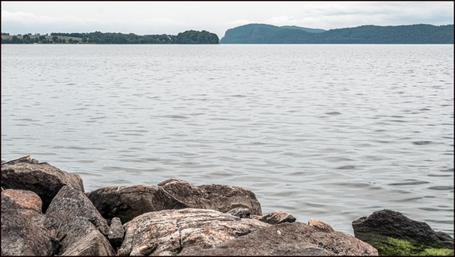
Hudson River again with Croton Point Park on the left and Hook Mountain State Park on the right.
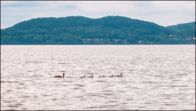
A convoy of geese
Harley and myself at Croton Landing. Of course I’m taking a picture. Photo courtesy of Antonio Mora.
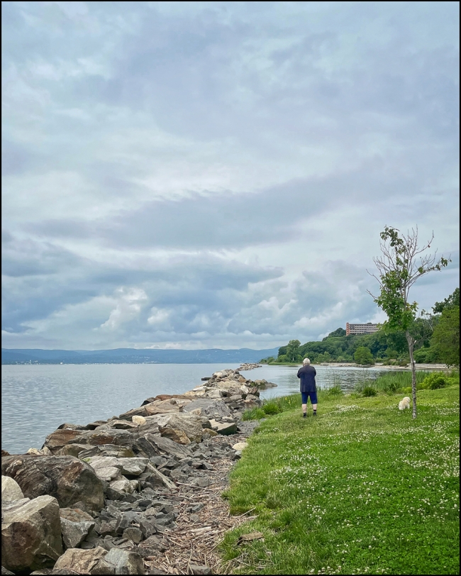
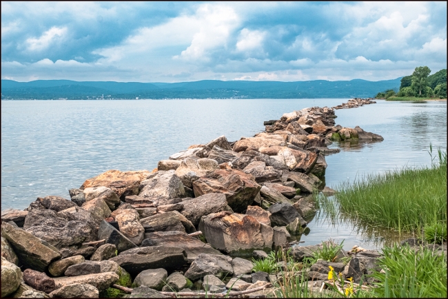
Breakwater at Croton Landing. This is probably the picture I was taking in the preceding picture.
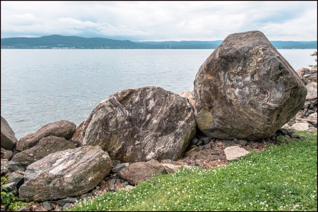
There are some impressive rocks at Croton Landing.
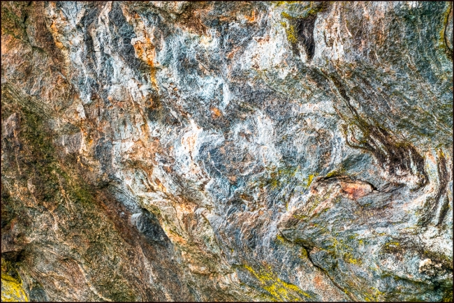
Detail of one of the rocks.
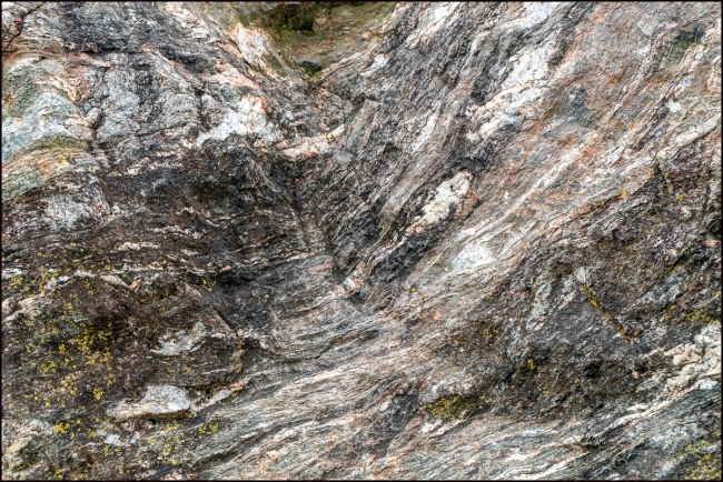
Detail of another rock.
Harley (in the foreground) and Henry. They both seemed to enjoy their walk together even it if got quite hot and humid by the time we finished. Photo courtesy of Antonio Mora.
Taken with a Fuji X-E3 and Fuji XC 16-50mm f3.5-5.6 OSS II

