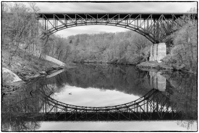
It’s all very confusing. Doing my research for this series of posts on the area around Fort Montgomery I’ve discovered that both this bridge (where Route 9w crosses over Popolopen Creek) and the footbridge (See: Fort Montgomery – Footbridge over Popolopen Creek) are described as “The Popolopen Creek Bridge”.
According to Wikipedia:
During the American Revolution, the mouth of Popolopen Creek was spanned by a pontoon bridge. Much later, the road north from Hessian Lake to Fort Montgomery once crossed the lower part of the gorge by an iron bridge. The steep descents into the gorge and sharp turns onto this bridge made it dangerous for auto traffic. In 1916 the road (then Route 3, renumbered U.S. Route 9W in 1930) was rerouted over a high steel viaduct further downstream, near the site of Fort Montgomery, in 1916. Another bridge was built immediately adjacent in 1936.
Called Popolopen Bridge, the 1936 structure is of the deck truss design, more than 600 feet long, 48 feet wide. It rises about 150 feet above the mouth of Popolopen Creek. As of 2000, its average daily traffic was about 18,000 vehicles. Although rehabilitation was performed in 1992, additional repairs were completed in 2007. The 1916 bridge was demolished in the 1950s, although its high stone abutments remain.
Below – 9W bridge reflected in Popolopen Creek.


